Well, it finally happened. We had a nice enough day to take the club's Citabria up for a spin and hopefully get some pictures of the fall colours from the air.
I was armed with my Canon PowerShot A80; Jim brought a film camera.
A selection of the pictures taken:
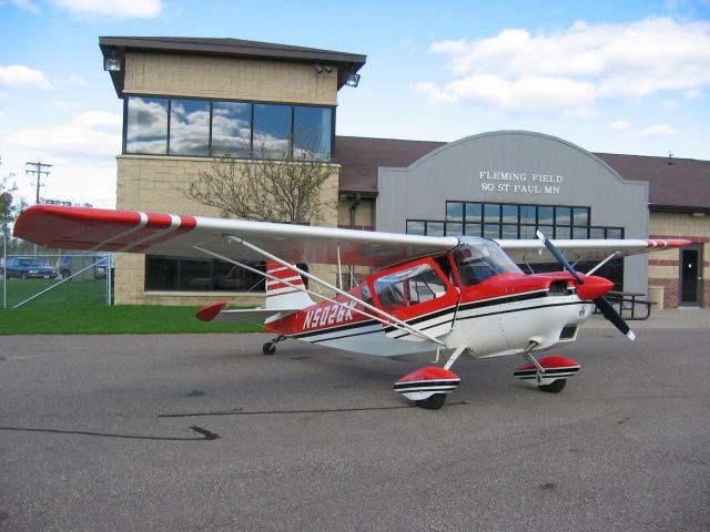
Our steed: An ACA Citabria, aka "Two Six Kilo."
Departing Fleming Field on Runway 16.
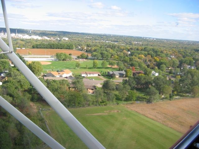
Climbout from Fleming.
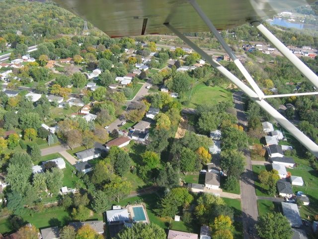
South St. Paul residential neighbourhood.
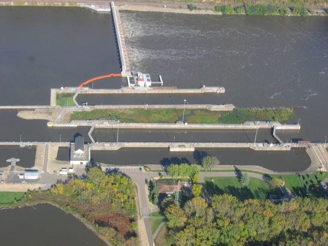
Lock & Dam #19 on the St. Croix River, operated and maintained by the US Army Corp of Engineers.
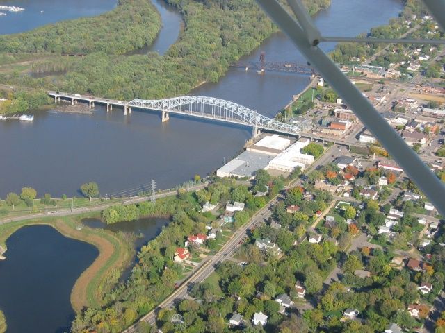
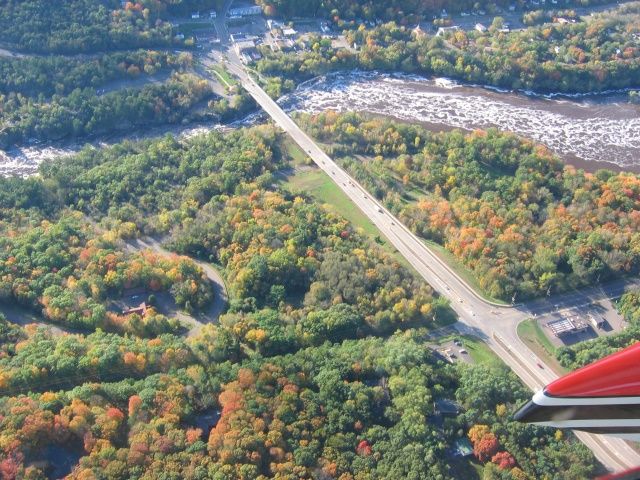
The Highway 61 bridge spanning the St. Croix River at the town of Hastings.
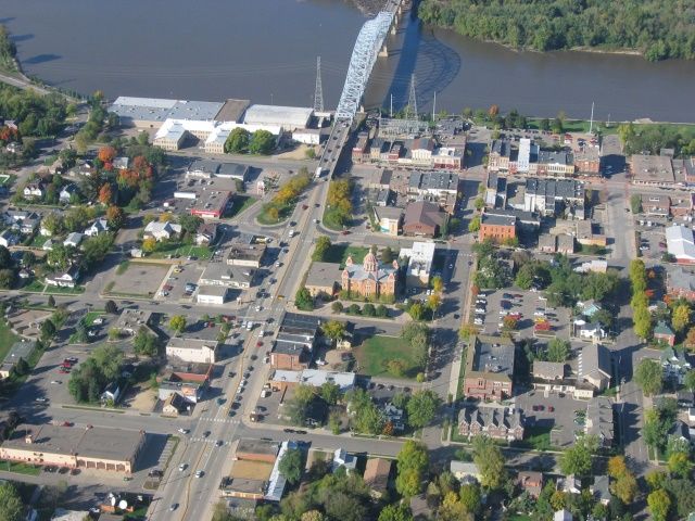
Historic downtown Hastings.
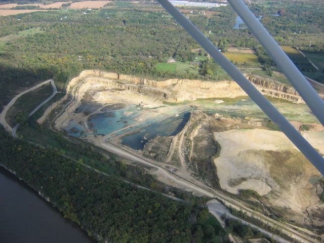
Ugh. Some gawdawful sand quarry on the Wisconsin side of the St. Croix River.
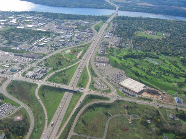
Interstate 94 as it cuts through downtown Hudson, Wisconsin. River in the background is the St. Croix.
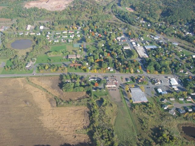
Errr... some random town in Wisconsin. Or Minnesota.
Taylors Falls, on the Minnesota side of the St. Croix, at the top of the picture.
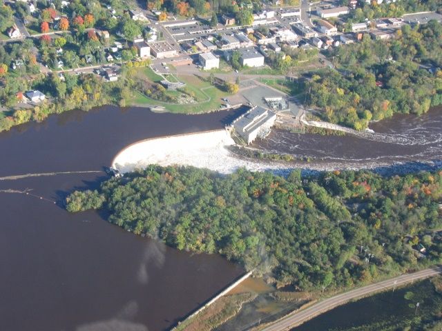
The hydroelectric power station on the St. Croix, just north of Taylors Falls.
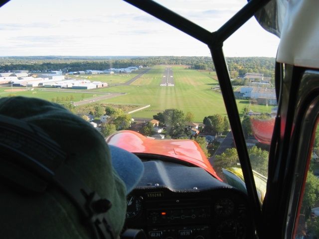
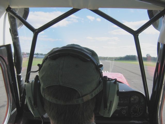
Final approach back into Fleming, Runway 16. Precision approach path indicators (PAPI) on the left of the runway show Jim to be a little high on the glideslope.

You can tell from the images that we didn't quite make the peak of the fall colours, as there was still a lot of green vegetation. I'll see if I can find a sucker to share a plane rental with me again next week, when the colours (hopefully) peak.
MG


